TechnologieOur equipment and software
 
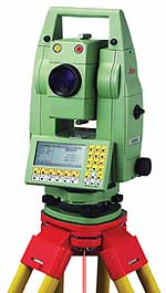
Our company uses the most up-to-date measuring equipment of LEICA, including TPS 1101 and receivers GPS/GNSS series 1200, working in satellite navigation system GPS and GLONASS.
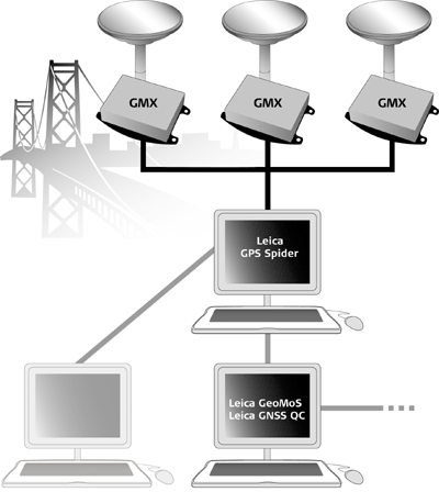
The measurements in GPS/GNSS technique we make using our own reference station or ASG-EUPOS system activated on 02.06.2008.
The LEICA software owned by our company allows us to elaborate on the gathered data and transmit the results of measurements into other geodetic software.
 We create the numeric maps with use of EWMAPA and MIKROMAPA programmes, and we can transmit the elaborated maps to earlier agreed formats compatible with programmes of CAD type and others.
|
|